

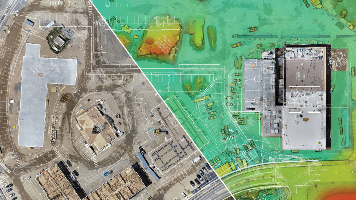
WHY DRONE SURVEYS & MAPPING?
The geospatial industry experiences revolutions every few years. Total stations came first, followed by GPS, laser scanners, and robotics. Surveying and mapping drones, which offer short data collection times, outstanding positional precision, and a safe operator experience, are now being used by professionals as an additional tool.
With great precision and resolution, our drone surveys and mapping are 70%–85% faster than terrestrial measurements.